What are Deltas?
The formation of river deltas is a dynamic and intricate geological and geomorphological process driven by a combination of natural factors and scientific principles. Deltas, characterized by their triangular or fan-shaped landforms, emerge at the confluence of rivers and bodies of water, such as seas or oceans. The fundamental processes that underpin delta formation, including sediment transport, river deposition, sediment deposition, delta formation, and deltaic progradation happen over longer periods of time (~100 years). Information on this page discusses the factors that contribute to their evolution and shaping over time, encompassing changes in river courses, sea-level fluctuations, tectonic influences, and human interventions like dam construction and river channelization. The ecological significance of deltas will also be touched upon, as these regions often evolve into fertile and biodiverse ecosystems due to the constant deposition of nutrients and organic matter. Hopefully, this page will offer valuable insights into the scientific complexities of delta formation, contributing to a deeper understanding of these vital and ever-changing landscapes.
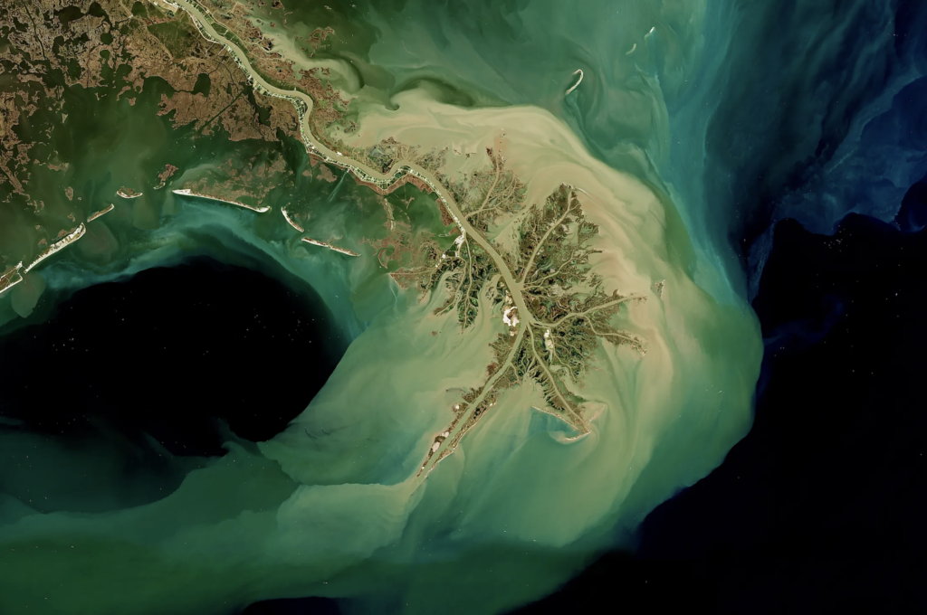

Deltas exist around the globe.
Deltas are widespread geological features found at the mouths of rivers around the world, existing in a diverse array of environments. They are notably concentrated in low-lying coastal regions and encompass numerous examples, such as the Mississippi Delta in the United States, the Nile Delta in Egypt, the Ganges-Brahmaputra Delta in Bangladesh and India, and the Mekong Delta in Vietnam. Deltas are not limited to major river systems; they can be found in various scales, from small, relatively simple deltas to extensive, intricate formations. These unique landscapes play a crucial role in supporting biodiversity, providing fertile soil for agriculture, and serving as habitats for numerous species. However, they are also vulnerable to the impacts of climate change, making them a subject of scientific study, conservation efforts, and environmental management.
Analysis of Hydrological Characteristics: A Case Review of the Niger Delta
This paper reviews the significant contribution of hydrologic continuity in the development, evolution and fate of the Niger Delta. Formed from the aggregation of sediments from a drainage catchment area of over 2 million km2, the Niger Delta has evolved into a prolific sedimentary basin with a dense network of rivers and creeks.
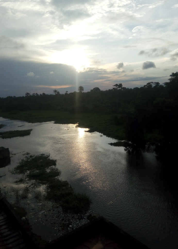
The Orinoco River Delta
The enormous quantities of material produced by the highland regions are carried down by torrential rains to the rivers creating this Delta in South America between the Peninsula of Paria and the Guayana highlands
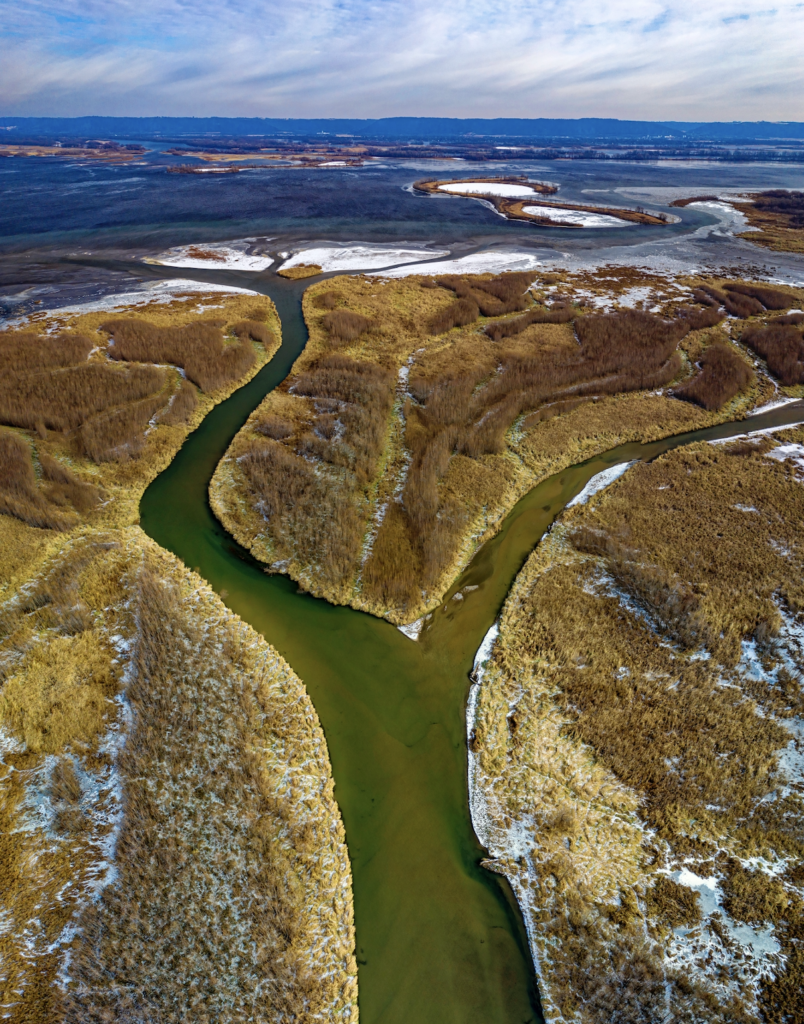
Understanding the Mississippi River Delta as a Coupled Natural-Human System: Research Methods, Challenges, and Prospects
A pressing question facing the Mississippi River Delta (MRD), like many deltaic communities around the world, is: Will the system be sustainable in the future given the threats of sea level rise, land loss, natural disasters, and depleting natural resources?